


04 – Alpes-de-Haute-Provence
04 – Alpes-de-Haute-Provence
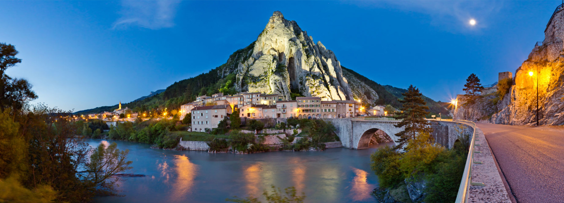
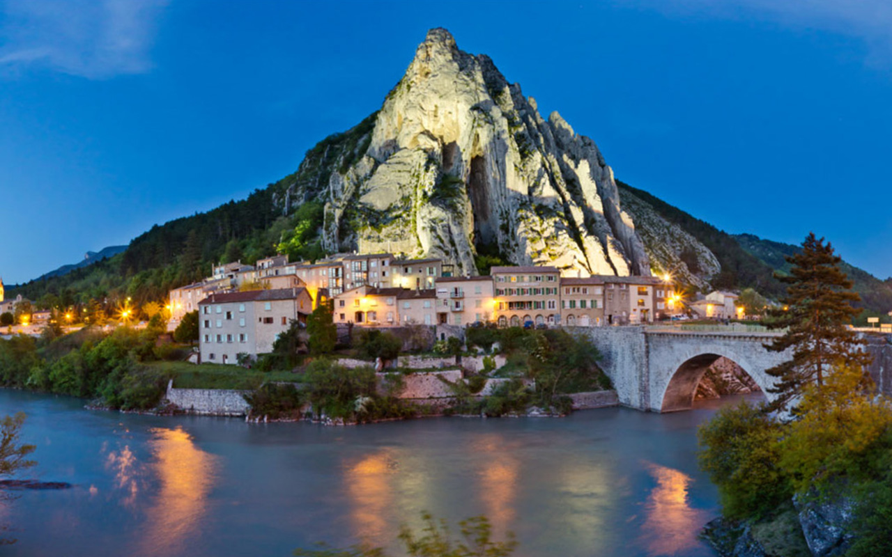
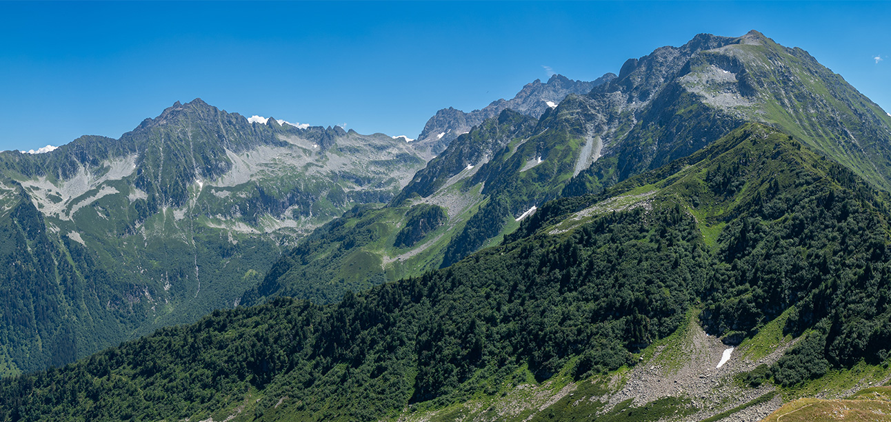
Alpes-de-Haute-Provence spans a broad ecological gradient from Mediterranean foothills to high alpine valleys. This diversity supports a rich assemblage of wildlife, including alpine mammals, breeding raptors, amphibians of upland wetlands and a flora shaped by altitude, geology and climate. Extensive protected areas and low population density make the department a stronghold for intact mountain ecosystems.
Wild Places
These are listed by order of importance, National, Regional Parks, Reserves and local hotspots that should be of interest to all nature lovers, whether serious listers or casual observers.
Waiting To Be Discovered Are:
The Luberon Regional Park
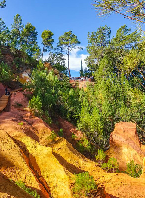
The Luberon has exceptional biodiversity: 1,800 species of plants (35% of French flora) including 70 protected by statute, 135 species of birds (50%), 2,300 species of butterflies and moths (40%).
The Luberon has exceptional biodiversity: 1,800 species of plants (35% of French flora) including 70 protected by statute, 135 species of birds (50%), 2,300 species of butterflies and moths (40%).
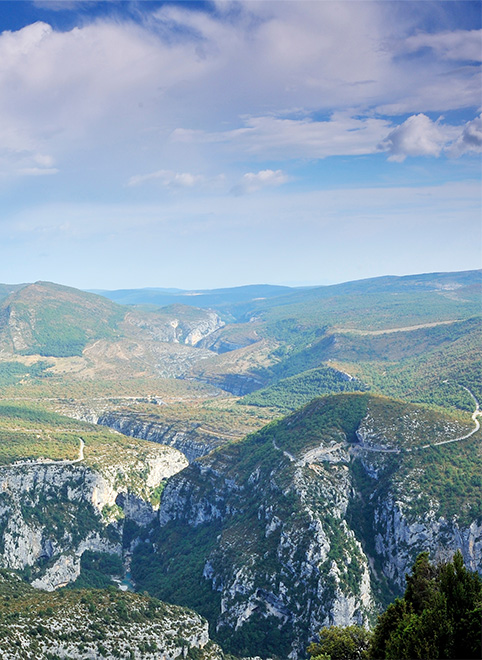
Additional Wildlife Hotspots
Additional Wildlife Hotspots
These sites fall outside formal protected area boundaries but are widely recognised for their ecological significance.
Field Calendar and Seasonal Dynamics
Spring (March to May) and Autumn (September to October) offer exceptional alpine and sub-alpine field clarity, maximising encounter rates for large raptors, mountain flora and breeding passerines before continental heat or freezing sets in. Spatial itineraries cutting through the Verdon and Luberon park borders can be verified via the Rando Alpes Haute Provence platform or cross-referenced with ranger-verified trails on the Chemins des Parcs network.
Winter (November to February) triggers a significant altitudinal down-shift, consolidating wildlife activity away from the snow-locked high peaks and into the deep geomorphological shelter of the Verdon Gorges and lower alluvial river basins.
Summer Forest Access and Fire Risk Regulations (DFCI)
From mid-June to mid-September, forest and valley access within the Alpes-de-Haute-Provence is regulated by prefectural decree to manage severe summer ignition hazards. Unlike the coastal zones, the fire dynamic here is characterised by the continental heat trap of the Valensole Plateau and the steep, rugged terrain of the Verdon Gorges, where remote wilderness areas make rapid emergency response logistically complex.
The risk index is calculated daily by forestry and emergency officials, generating an updated zoning chart every evening after 18:00 (6:00 PM).
Green or Yellow codes authorise regular trail access.
Orange codes permit massif access but strongly discourage long-distance hiking due to high heat indexes and localised fuel dryness.
Red codes enforce an absolute closure, legally barring all access to designated massifs, hiking trails and municipal forestry tracks to prevent any human-caused ignition pressure.
Check the official sector mappings every evening via the Alpes-de-Haute-Provence Prefecture Gateway or monitor the interactive Alpes-de-Haute-Provence Fire Dashboard. The southern reaches of the Verdon basin are subject to shared cross-departmental enforcement; check Var constraints if stepping across the department line during field surveys.
Field Notes & Responsible Practice
Please refer to our code of conduct page for responsible recording and observation.