


83 – Var
The Var is a predominantly Mediterranean department characterised by forested hills, river valleys, wetlands and an extensive coastline. Its habitats support a wide range of reptiles, amphibians, birds and mammals, with biodiversity shaped by climate, geology and seasonal water availability across inland and coastal zones.
Wild Places
These are listed by order of importance, National, Regional Parks, Reserves and local hotspots that should be of interest to all nature lovers, whether serious listers or casual observers.
Waiting To Be Discovered Are:
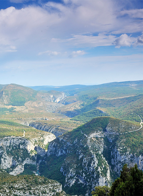
Regional outlook:
A proposed Parc naturel régional linking the Maures, Estérel and Tanneron is currently in development and may eventually help create a continuous network of protected landscapes across eastern Provence, connecting the Var with the Préalpes d’Azur and surrounding massifs.
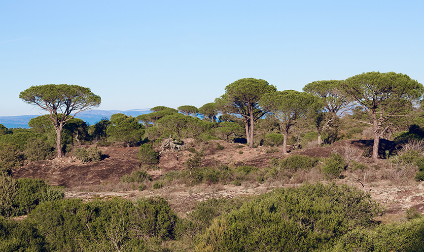
RNN – Plaine des Maures
The Plaine des Maures National Nature Reserve protects a landscape unlike any other in Provence. A lowland, siliceous plain where ancient geology, fire and Mediterranean climate have combined to create an ecosystem found almost nowhere else in France.
It’s an important refuge for the survival of Hermann’s tortoises.
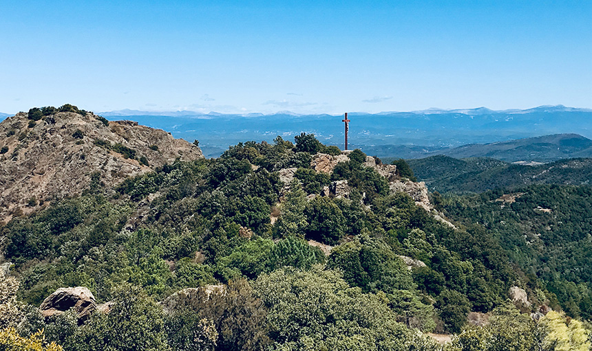
Ridge Lines
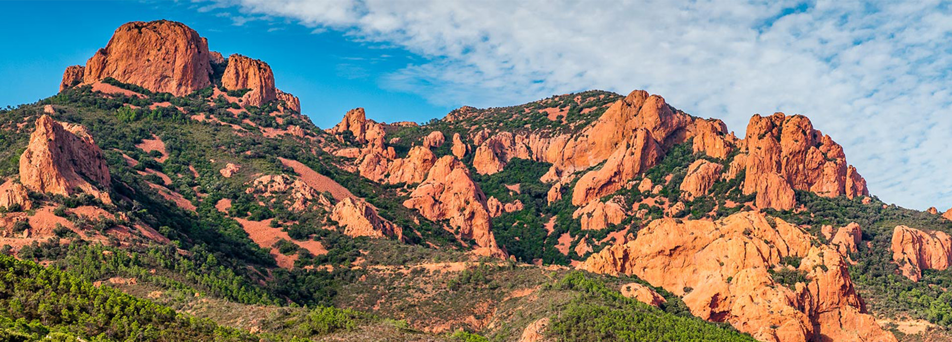
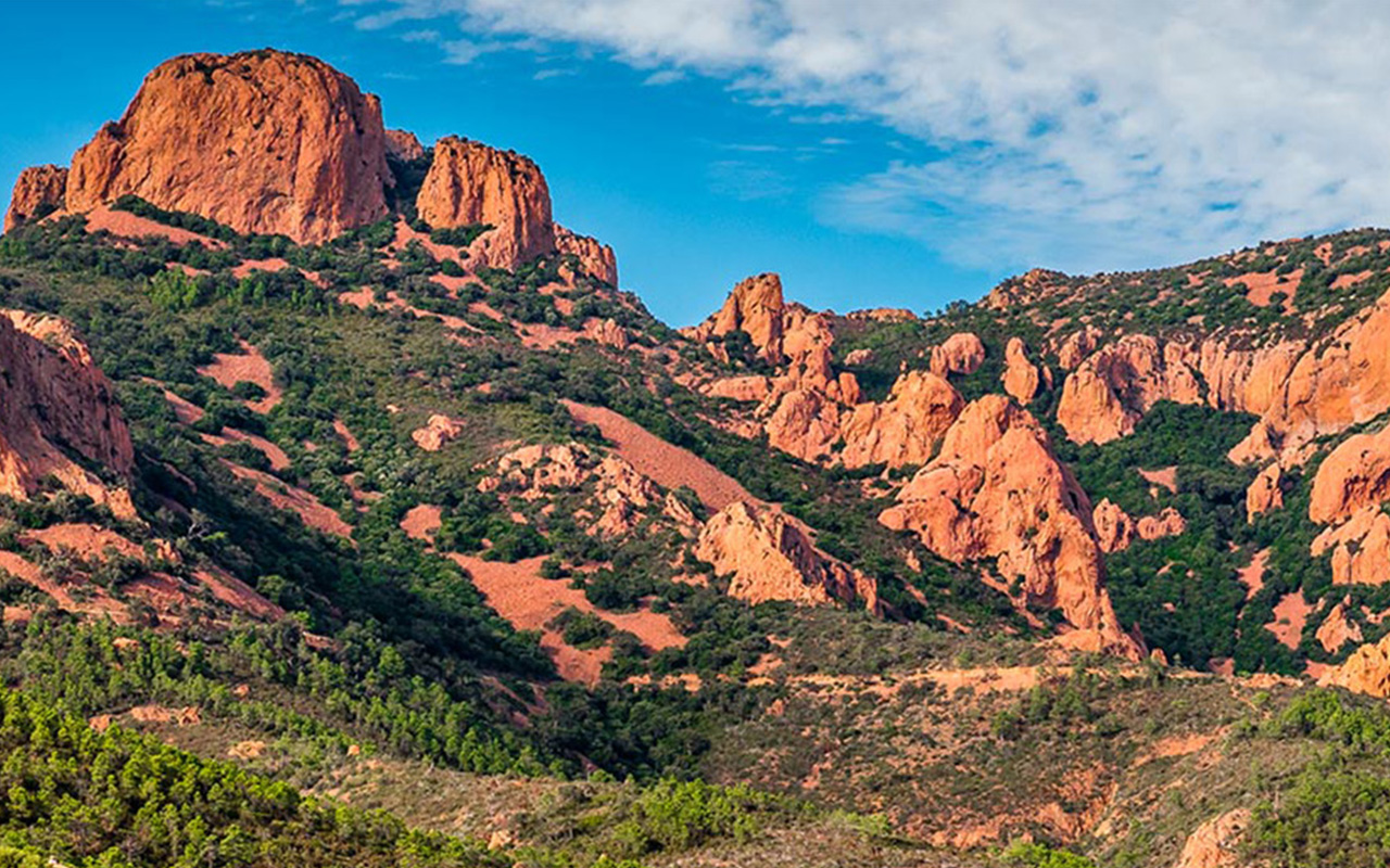
The Var’s ridge systems and massifs are fundamental to understanding the department’s natural character. They provide scale, continuity and ecological depth beyond formal reserves and protected wetlands.
For naturalists, they offer space, variety and the possibility of discovery across every season.
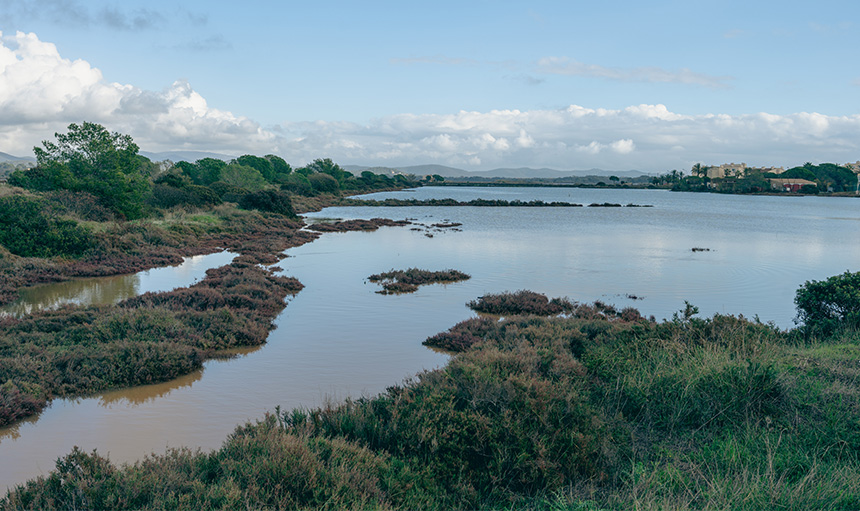
Wetland Systems Around Hyères
Hyères sits at the heart of one of the most important wetland complexes on the Mediterranean coast. Beyond the well-known salt pans lies a network of freshwater ponds, seasonal marshes, canals and coastal margins that together support extraordinary biodiversity throughout the year.
Plan de la Garde
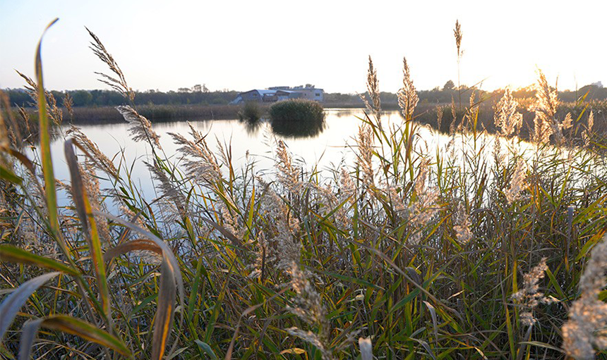
Between La Garde and Le Pradet lies one of the most quietly important restored wetland landscapes in the Var. The Plan de la Garde is not a wilderness in the traditional sense. It is something rarer in this part of the Mediterranean, a functioning lowland wetland system rebuilt within an urbanised coastal plain and now managed as a long-term refuge for biodiversity.

Pelagos Marine Sanctuary
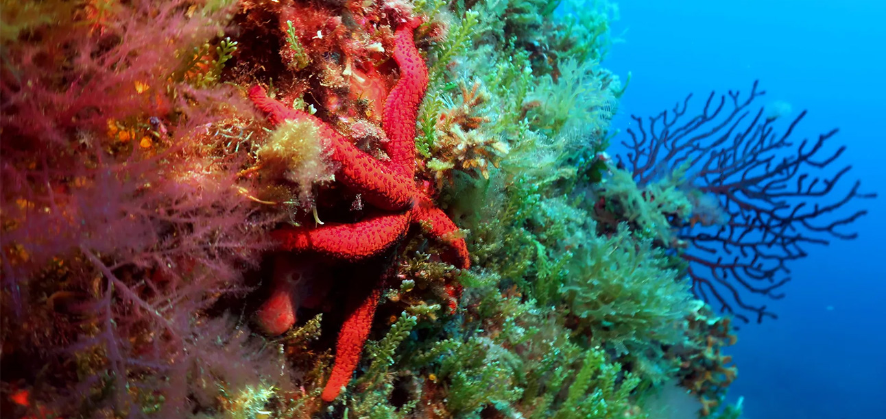
The Pelagos Sanctuary is the only international sea area dedicated to the protection of marine mammals and their habitats in the Mediterranean Sea. It was established by a Multilateral Agreement between France, Italy and Monaco signed in Rome in 1999, which came into force in 2002
Additional Wildlife Hotspots
These sites fall outside formal protected area boundaries but are widely recognised for their ecological significance.
Field Calendar and Seasonal Dynamics
Spring (March to May) and Autumn (September to October) offer peak biological returns across the Var, aligning with major passerine and raptor passage alongside optimum botanical flowering windows in the maquis. Detailed multi-use trail geometry through the Sainte-Baume and Verdon sectors can be cross-referenced using the Chemins des Parcs mapping system or the official RandoVar registry funded by the department to avoid private trail incursions.
Winter (November to February) is characterised by exceptional, crowd-free conditions along the immediate coastal fringe, salt marshes and alluvial woodlands, which serve as vital refuges for wintering gulls and wading birds.
Summer Forest Access and Fire Risk Regulations (DFCI)
Between 15 June and 30 September, human presence within the forest massifs of the Var is strictly regulated by prefectural decree to protect both visitors and fragile ecosystems. The intense summer drought drying out highly combustible cork oak (Quercus suber) forests, dense Aleppo pine canopy covers and dry maquis in coastal zones makes this department exceptionally vulnerable to explosive, wind-driven ignitions.
Field access decisions are calculated daily based on localised weather, fuel moisture levels and wind forecasts. The official colour-coded risk map is updated every evening before 19:00 (7:00 PM), dictating access permissions for the following day across the 9 primary forest massifs (including the Maures, Estérel and Sainte-Baume).
Green or Yellow codes permit standard access and transit on public forestry tracks.
Orange codes permit access but strongly discourage entry into dense massifs.
Red codes completely prohibit all public access all day across all hiking trails, tracks and massifs, including the offshore habitats of the Îles d’Hyères within Port-Cros National Park.
Naturalists must verify trail statuses nightly via the official Var Prefecture Access Map or the localised Var Fire Risk Dashboard before finalising morning field plans. Lighting fires, smoking or entering dirt tracks marked with a B0 sign remains strictly illegal year-round within 200 metres of all woodlands.
Field Notes & Responsible Practice
Please refer to our code of conduct page for responsible recording and observation.